A coastal Alaska map can look simple until islands, tidewater glaciers, narrow passes and broad mudflats turn a short line into a demanding journey. Learning to read those features helps you estimate travel time, recognize weather exposure, anticipate animal habitat and avoid routes that are safe only at certain water levels. The best planning choice is rarely the shortest distance; it is the route that matches your vessel, daylight, forecast, tide stage and margin for error.
Read the shoreline as a system
Alaska's coast is not a single edge between land and sea. It is a working network of peninsulas, island groups, inlets, river mouths and underwater shelves. A map shows the shape, but the shape hints at how water and weather behave.
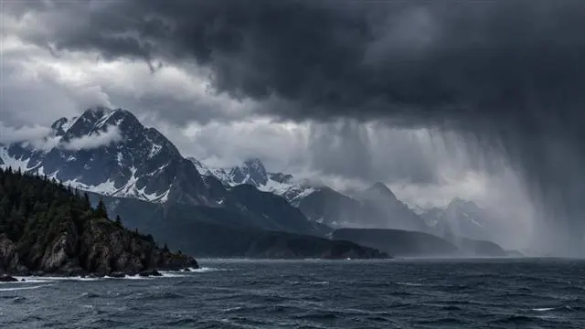
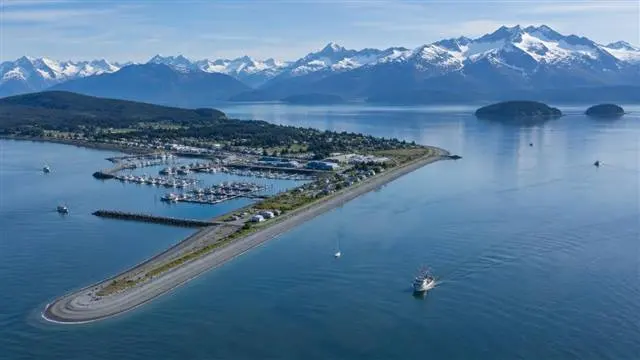
A long inlet may appear to offer protected travel, yet its outer entrance can be exposed to ocean swell. An island may shield one side from wind while funneling current through a narrow channel. A rounded bay can contain shallow ground near its head, especially where a river has deposited sediment. Treat each change in shoreline direction as a possible change in conditions, not just a visual landmark.
For trip planning, start by marking the entire route from a departure harbor to the intended anchorage, landing beach or fishing area. Then identify alternate stopping points. If the forecast worsens, a useful backup is one you can reach without crossing the same exposed water you are trying to leave.
Fjords, channels and passes demand different choices
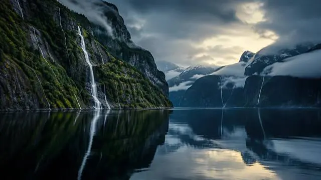
Fjords are steep-sided valleys flooded by the sea, often with deep water extending inland and shallower thresholds near their entrances. Their walls can reduce some ocean swell, but they can also accelerate gusts, trap low cloud and leave few options for turning around. A vessel entering a long fjord should have a reason for going in and a clear plan for coming out.
Channels between islands are more varied. Some provide efficient, sheltered travel; others concentrate current and become rough when wind opposes the flow. A pass can be the best route at one stage of the tide and a poor choice later. Check charted depths, navigational warnings, local knowledge and the forecast rather than assuming that a narrow passage is automatically protected.
The practical comparison is simple: an outside route may be longer but more direct, while an inside route may reduce open-water exposure but add bends, hazards and timing constraints. Choose the route your operator, vessel and crew can manage comfortably, not the one that merely looks shortest on a digital screen.
Tidal flats are a timing problem
Tidal flats form where shallow coastal water allows fine sediment to settle. They are common near river mouths, behind barrier islands and at the heads of bays. At high water, a flat may look like an open approach. As the tide falls, it can become a maze of channels, soft mud and stranded debris.
This affects more than boats. A landing that works at one tide stage may leave a skiff far from shore later. Walking on exposed mud can be exhausting and hazardous, and a rising tide can cut off a route that appeared easy at low water. Sandbars and channels may also shift after storms or heavy runoff, so an older track should not be treated as a guarantee.
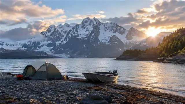
Use current tide information and a chart with appropriate detail. Build time into the plan for loading, unloading and returning to the vessel. If a landing depends on a narrow window, ask whether there is a higher, firmer alternative nearby. A slightly less convenient beach is often the better decision.
Glaciers change the map's meaning
Glaciers explain much of coastal Alaska's dramatic relief. They carve valleys, feed rivers and leave steep mountains rising directly from salt water. Their presence also signals a landscape where ice, rockfall, runoff and sudden weather changes deserve attention.
A glacier's elevation matters even when you are traveling at sea level. High terrain can create localized wind, shade and cloud, while snowfields and ice can remain visible long after lower country has changed seasonally. Glacial streams may carry floating debris and cold, fast-moving water into otherwise calm bays. Near tidewater ice, floating pieces can be difficult to judge from a distance and may drift with wind or current.
Do not use dramatic mountain scenery as a substitute for navigation. Follow the chart, maintain room to maneuver and give uncertain ice, shoals and unmarked shoreline hazards a wide margin. If a route depends on visual identification, poor visibility can remove the very reference point you expected to use.
Elevation helps predict habitat and weather
Elevation changes quickly along many coastal stretches. A low, forested shoreline may rise into alder, alpine vegetation, bare rock and permanent snow within a relatively short horizontal distance. Those bands influence where animals feed, travel and seek cover.
Tidal shorelines can attract waterfowl, marine mammals and bears feeding near streams or intertidal areas. Salmon-bearing rivers and estuaries create productive habitat, while forest edges and avalanche chutes may provide different opportunities for deer and other wildlife. Habitat is not fixed, though. Tide, season, recent rain, food availability and human activity all affect animal movement.
Elevation also helps explain why two nearby locations can have different weather. A valley may hold fog while a ridge is windy and clear. Rain can make a beach landing unpleasant while snow or freezing conditions affect a pass above. When choosing a camp or hunting area, compare lowland access with the terrain required after landing. A promising point on the map may involve steep, wet or brushy travel once you leave the beach.
Build a route with margins, not assumptions
Safe route planning combines geography with the vessel's actual capabilities. Confirm fuel range, communications, navigation equipment, emergency provisions and the crew's experience before selecting remote water. A route suitable for a larger vessel may be unsuitable for a small skiff, especially when wind, current or a falling tide reduces room to maneuver.
Review the marine forecast, tide predictions, charted hazards and any current notices before departure. Keep paper or offline chart information available if electronic equipment fails. Tell a responsible person where the trip is going and when to expect an update, following the operator's established safety procedures.
For hunting and fishing trips, add another layer: know the legal boundaries, seasons, license requirements and harvest rules that apply to the area and species. Alaska regulations and access requirements may change, and special restrictions can apply in different management areas. Check current guidance from the Alaska Department of Fish and Game and other relevant official authorities before traveling; do not rely on an old map, a previous season's advice or a verbal assumption.
The common mistake is treating geography as scenery. Read the coast as a set of connected decisions: where water deepens, where tide removes access, where mountains alter weather and where wildlife finds food. That approach produces routes that are more realistic, more respectful of habitat and easier to adjust when Alaska refuses to follow the original plan.